– Platform · AI Maps
01
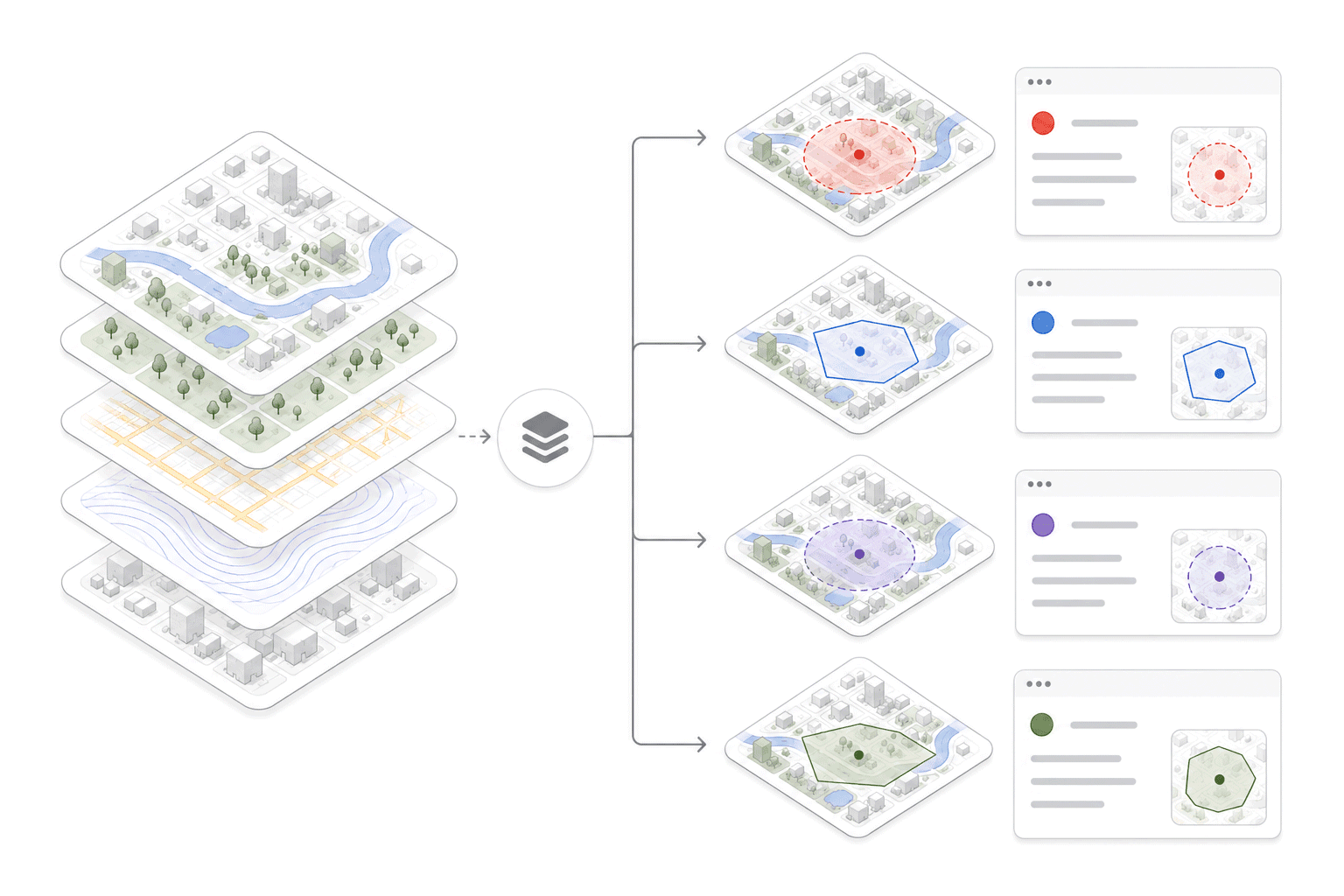
Build a base map once. Reuse it forever.
Create a Master Map for a city — your standard layers, your visual style, your data sources. Every new project in that city starts from it. No rebuilding from scratch, no inconsistent outputs across team members.
— AI pulls the relevant layers for your location
— Add your own data on top
— Saved to the studio workspace, accessible to all
— Copy and adapt for any new project
02
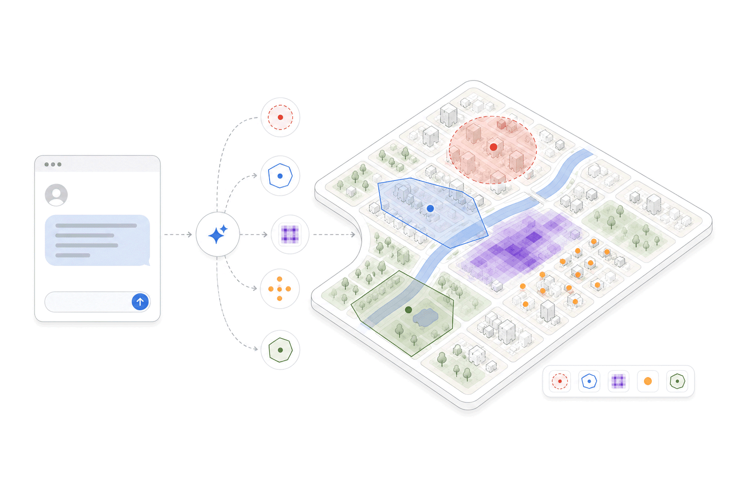
Ask in plain language. Get a map.
Describe what you need — Aino builds it. Zoning overlay, catchment area, pedestrian heatmap, competitor density — no GIS commands, no manual layer configuration. Your spatial knowledge, not your technical skills, drive the result.
—Natural language to map in seconds
—Combines multiple data sources in one query
—Runs spatial calculations automatically
—Instant visual result on the map canvas
03
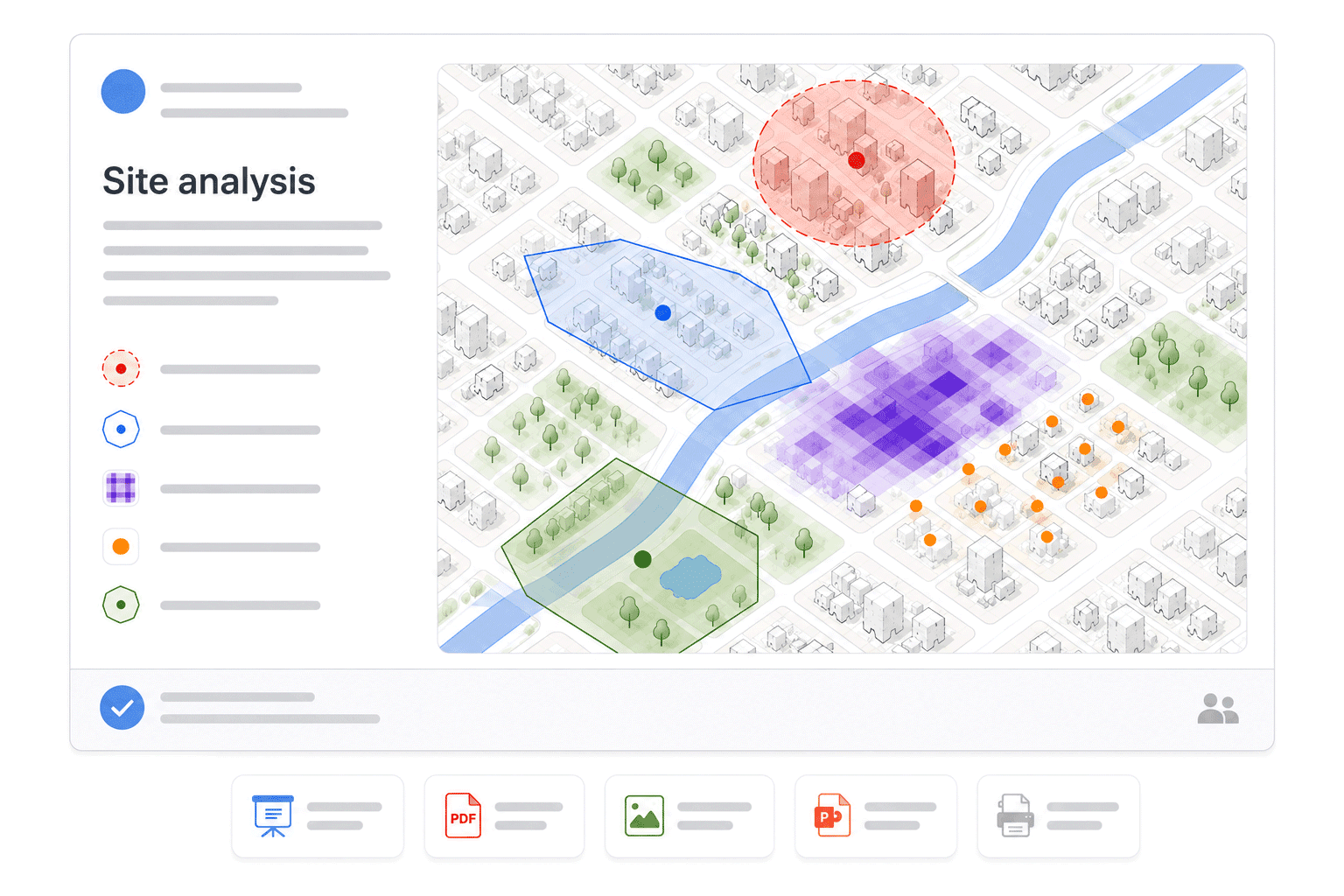
Styled for presentations, not GIS reports.
Maps that go straight into the client deck or planning submission. Consistent visual language across every project — labelled for non-specialists, sized for the slide, ready to export.
— Custom palette, typography and legend system
— Consistent across every team member and project
— PDF, PNG, SVG, print-ready resolution
— Slide-ratio framing with callouts and annotations
04
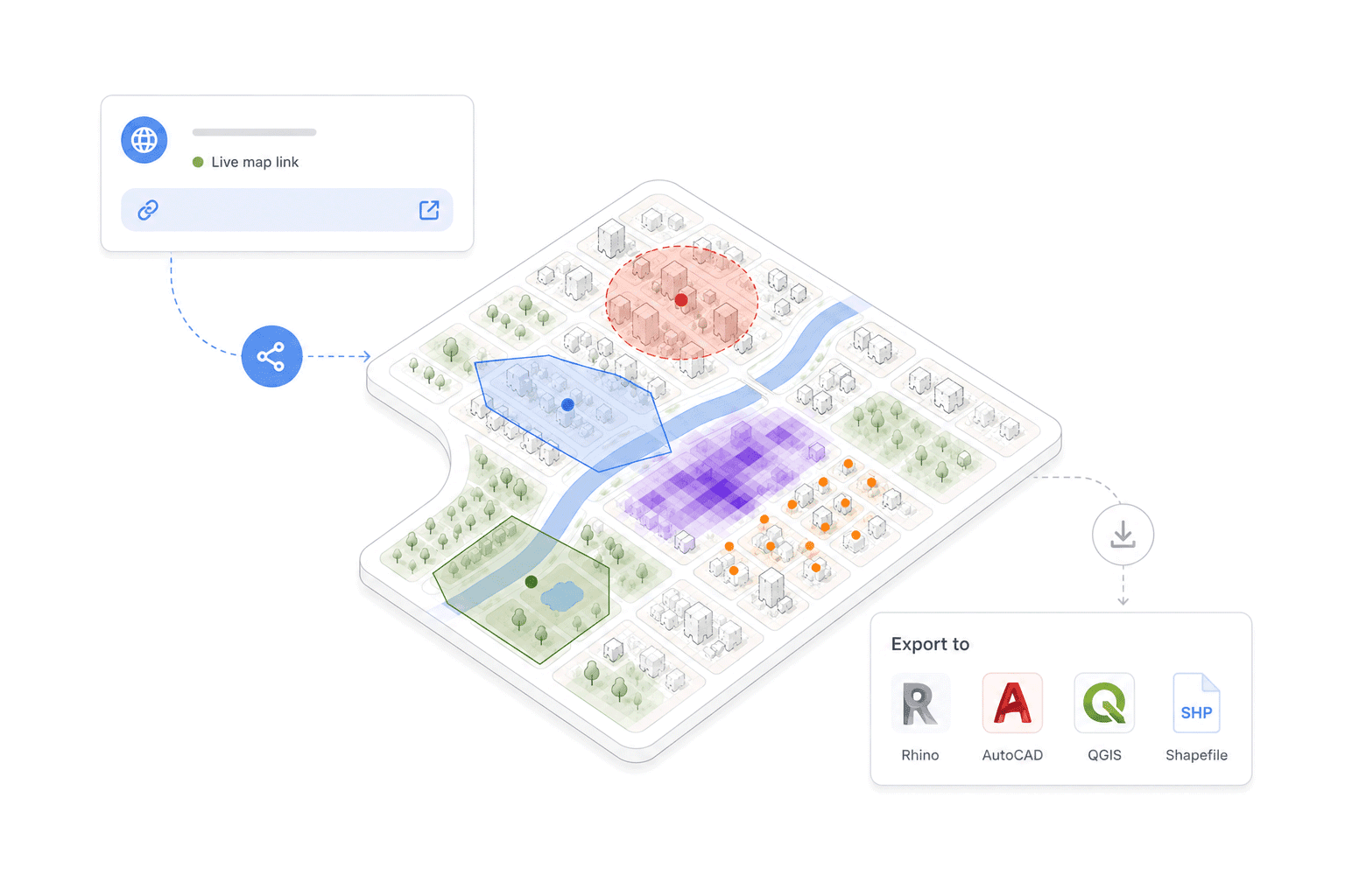
Publish, share or hand off to the design team.
Share a live link — your client explores the map in the browser without any software. Or export geo-referenced geometry straight into Rhino, AutoCAD or QGIS for the next stage of the project.
— Interactive shareable links, no login required
— Access controls and comment threads per link
— DXF and GeoJSON export, geo-referenced
— Building footprints, road networks, parcels