Blog
UPDATED: October, 7, 2025
updated: December, 23, 2025

Site selection for business
Site selection for business
Learn the site selection process: criteria, methods, GIS tools, and best practices. Use demographic layers, competitor data, and accessibility to pick the optimal business location.
Learn the site selection process: criteria, methods, GIS tools, and best practices. Use demographic layers, competitor data, and accessibility to pick the optimal business location.

How to Analyze Transport Accessibility
How to Analyze Transport Accessibility
Transport accessibility is an indicator that reflects how easily and quickly people or goods can travel from one point to another using the existing transport modes and infrastructure.
Transport accessibility is an indicator that reflects how easily and quickly people or goods can travel from one point to another using the existing transport modes and infrastructure.

Why demographic layers matter in real estate analysis
Why demographic layers matter in real estate analysis
How population, income, and age — enhance real estate analysis by revealing who lives and works in an area. It also shows how to use Aino to easily access and visualize this data for smarter location decisions.
How population, income, and age — enhance real estate analysis by revealing who lives and works in an area. It also shows how to use Aino to easily access and visualize this data for smarter location decisions.

How to turn addresses into a map for location analysis
How to turn addresses into a map for location analysis
Learn how to quickly turn any list of addresses into an interactive map using Aino. Discover how mapping your data unlocks powerful spatial insights for business, real estate, or urban analysis.
Learn how to quickly turn any list of addresses into an interactive map using Aino. Discover how mapping your data unlocks powerful spatial insights for business, real estate, or urban analysis.

How to do a basic site analysis
How to do a basic site analysis
Site analysis is the foundation of every successful project. This guide walks you through a simple five-step workflow, so you can design smarter buildings, plan stronger communities, or make better investment decisions.
Site analysis is the foundation of every successful project. This guide walks you through a simple five-step workflow, so you can design smarter buildings, plan stronger communities, or make better investment decisions.

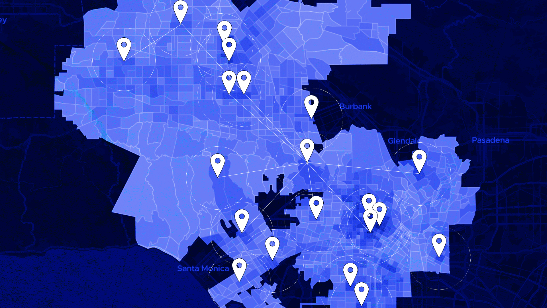
Buffers & Isochrones in Location Analysis
Buffers & Isochrones in Location Analysis
A practical guide to creating 500 m buffers and travel-time isochrones for location analysis, comparing simple distance zones with real-world accessibility to support planning, business, and urban studies.
A practical guide to creating 500 m buffers and travel-time isochrones for location analysis, comparing simple distance zones with real-world accessibility to support planning, business, and urban studies.

What makes an AI chatbot different from an AI agent?
What makes an AI chatbot different from an AI agent?
Chatbots can talk. Agents can act. Find out what makes the difference and why it matters for the future of work.
Chatbots can talk. Agents can act. Find out what makes the difference and why it matters for the future of work.
Chatbots can talk. Agents can act. Find out what makes the difference and why it matters for the future of work.

AI and the City: How LLMs Understand the Places We Live
AI and the City: How LLMs Understand the Places We Live
See how AI and maps team up: find out how models use urban data and personalized “personas” to rate neighborhoods based on what you care about.
See how AI and maps team up: find out how models use urban data and personalized “personas” to rate neighborhoods based on what you care about.
Buffers & Isochrones in Location Analysis
A practical guide to creating 500 m buffers and travel-time isochrones for location analysis, comparing simple distance zones with real-world accessibility to support planning, business, and urban studies.
How to turn addresses into a map for location analysis
Learn how to quickly turn any list of addresses into an interactive map using Aino. Discover how mapping your data unlocks powerful spatial insights for business, real estate, or urban analysis.
How to Analyze Transport Accessibility
Transport accessibility is an indicator that reflects how easily and quickly people or goods can travel from one point to another using the existing transport modes and infrastructure.